
My good friend Gian sent me a message one day declaring that he wanted to give mountain climbing, hiking, and trekking a try. Being supportive of his (sudden) interest in trekking (which can only be good,) I told him that we could start by going to Mt. Manunggal in Balamban. Mt. Manunggal, as you all know, is the mountain where Philippine President Ramon Magsaysay and his cabinet members met their tragic end when the plane that they were boarding (presidential plane Mt. Pinatubo) on their way to Cebu City failed to clear the peak.
Anyway, the original plan was to make it a two-man trek. However, we figured that it would be more fun (and safe) if we had other people on the list. So, I told my other friends about the deal. Harry, Redjie, John, and Roman agreed to go. However, Redjie had to back out the last minute for some unknown reasons. Hahaha.
We all decided to meet at the Ayala Jeepney/Van Terminal at 9 in the morning. By 10 am, we were all dozing off at the back of a cramped van headed for the town of Balamban.
—————————
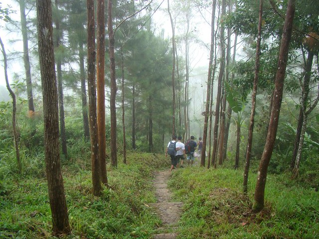
The long (and very cold) trek to Mt. Manunggal.
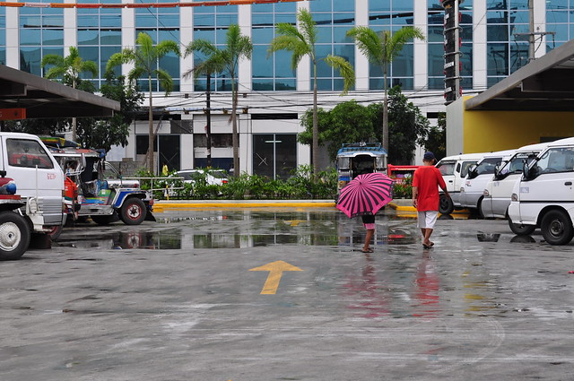
The Ayala Center Cebu Jeepney and V-Hire Terminal facing the soon-to-open Grand Cenia Hotel. Really nice!
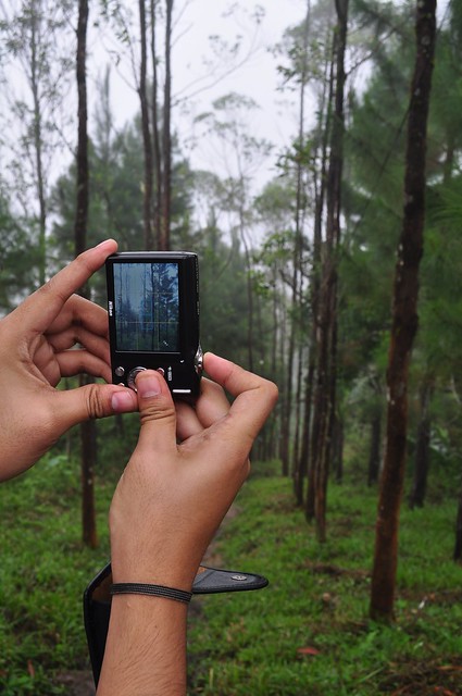
Gian testing his new video cam. Cool!

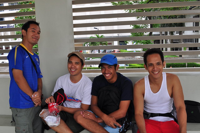
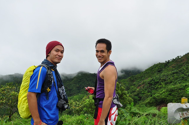
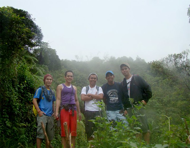
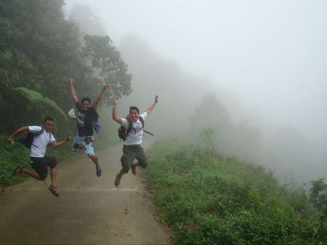
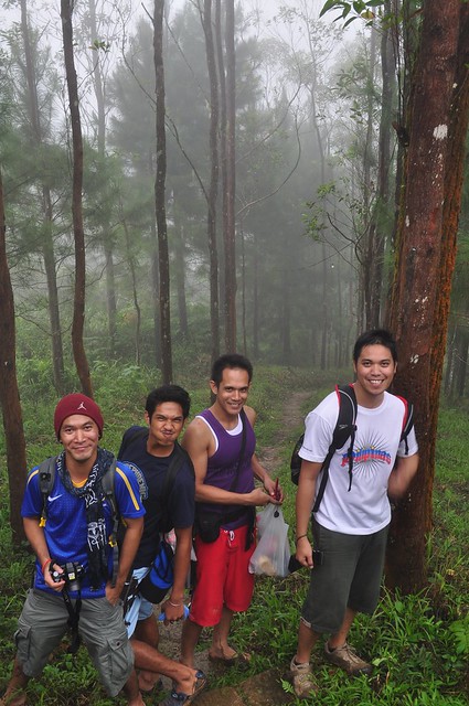
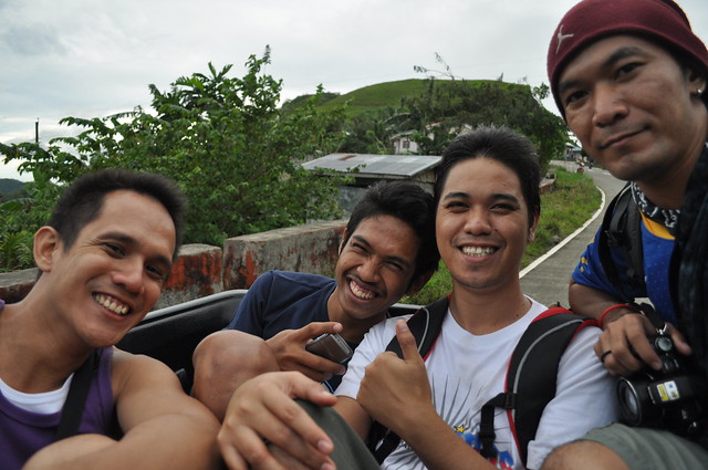
The gang. That’s Roman, Harry, John, and Gian.
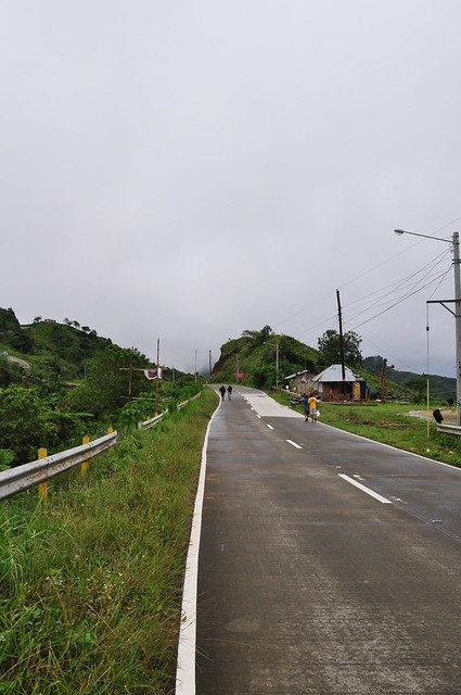
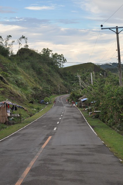
We decided to start our trek in front of the GL Highland Resort in Baranggay Gaas. It’s approximately 32 kilometers from Cebu City. And the Mt. Manunggal crash site is approximately 13 kilometers away.
To distract ourselves, we decided to enjoy the scenery and take as many pictures as we could. Hehe.
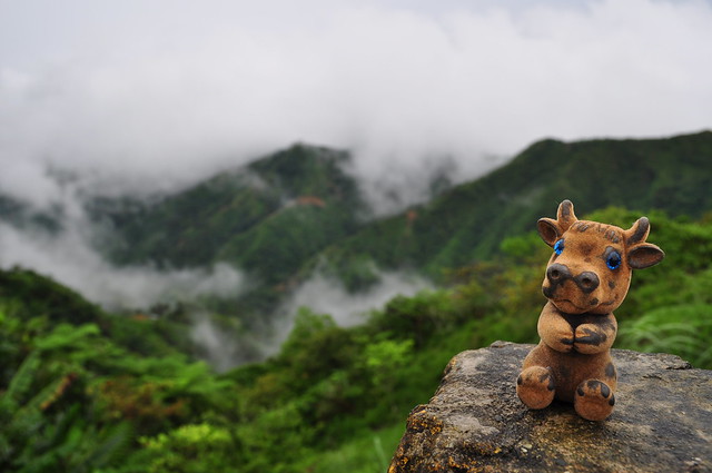
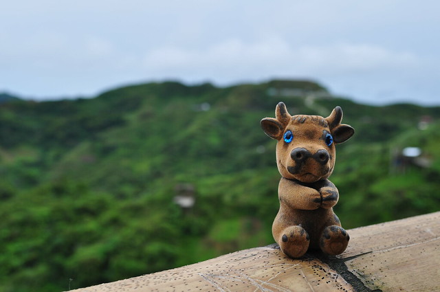
Satchmo having a swell time!
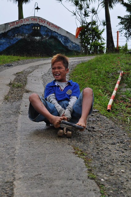
A young kid enjoying his ‘handmade’ skateboard. Cool!
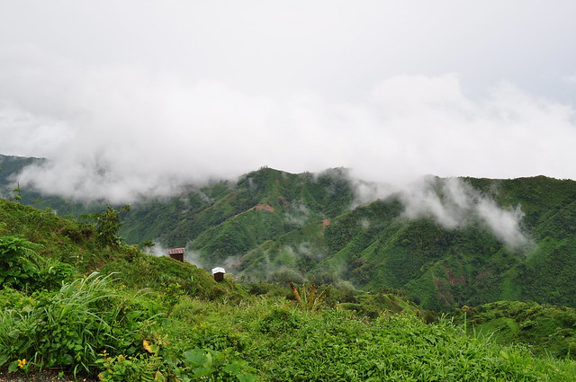
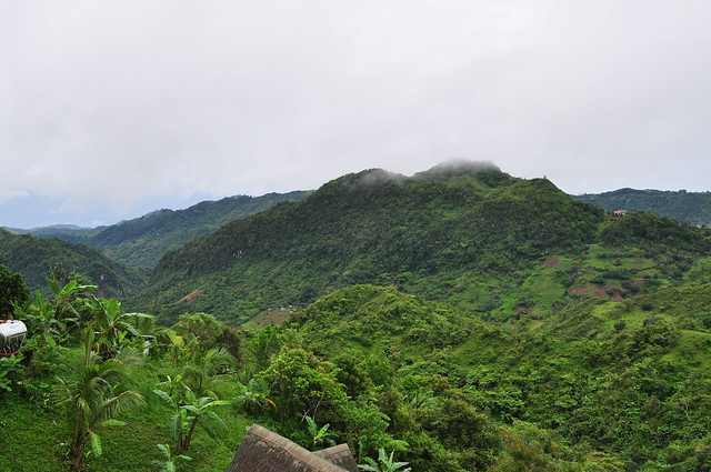
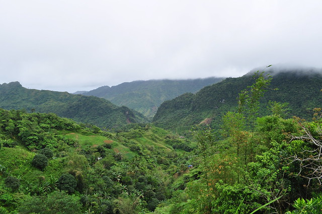
View of the mountains of Balamban. Gorgeous!
Roman and Gian smiling for the camera.
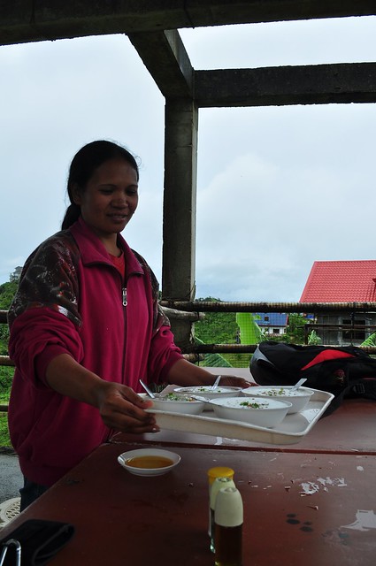
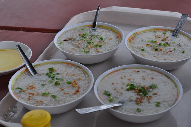
A few minutes later, we reached Kilometer 33. It’s where the famous K33 Zipline is located. Just above the facility is a small restaurant which serves hot goto. It was raining a little and it was getting really cold. So, we decided to stop by for a while and give it a try. Here’s Satchmo waiting for his order.
Manang and our gotos! Woohooo!!!
Hungry?
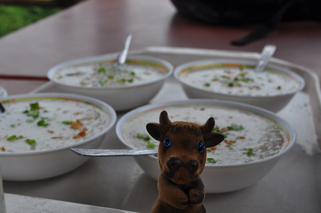
Looks delicious!
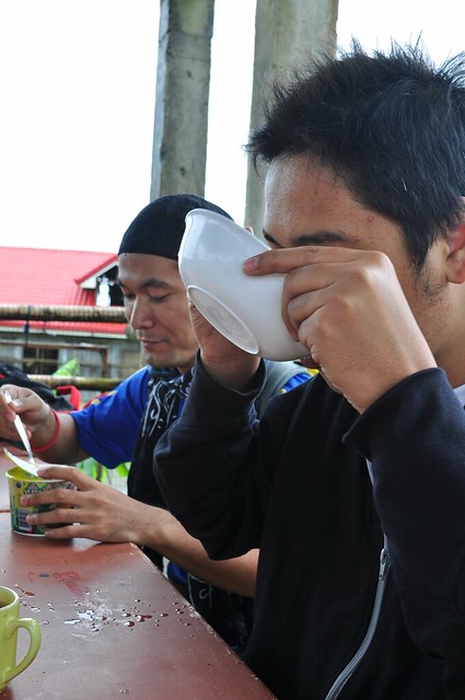
Bottom’s up, Harry!
After eating, it was time to get back on the road. Literally.
One kilometer and a few liters of sweat later. LOL

But the view is to die for!
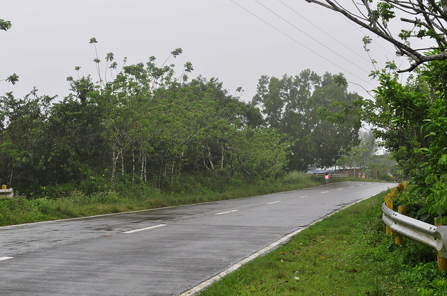
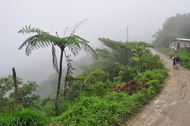
A portion of the very cold and wet transcentral highway.
After an hour, we finally reached the corner which leads to Baranggay Magsaysay. Group picture!
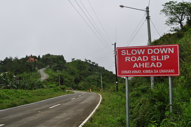
We didn’t know that this sign was trying to tell us something. Hahaha.
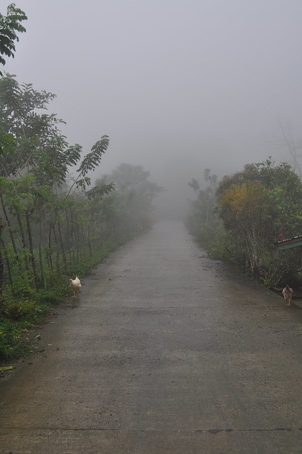
Rooster!

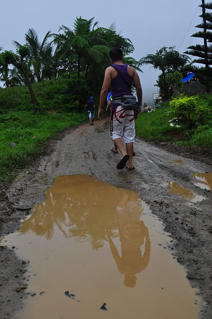
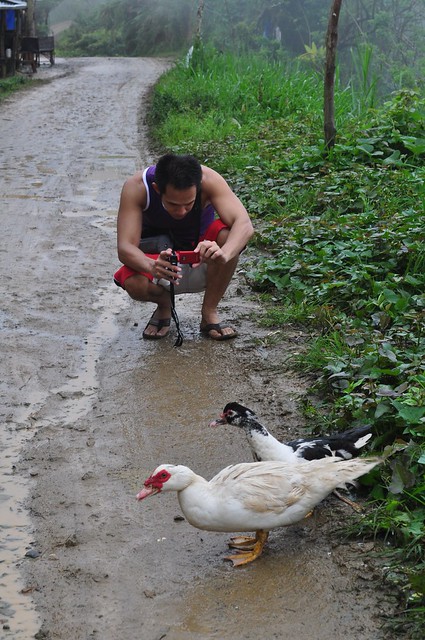
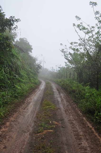
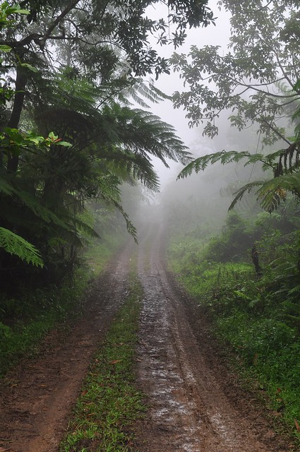
Through puddles and mud.
Gian taking pictures of some ducks. Hahaha.
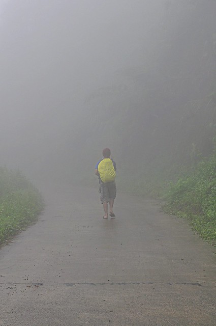
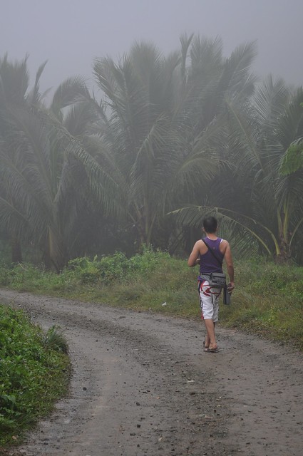
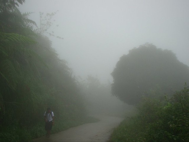
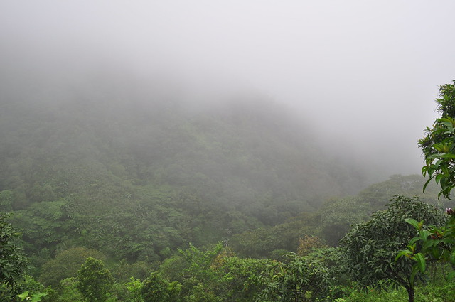
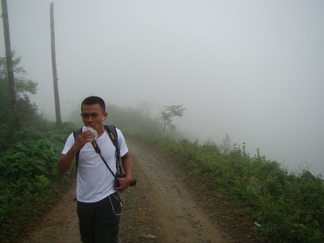
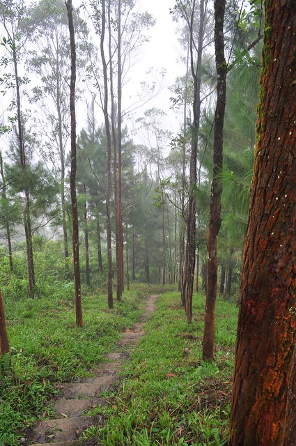
Look at all that fog!
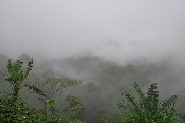
Wow!!
Just keep singing… Hahaha.

Do you know where you’re going to…. Hahahaha
What’s up, Gian?
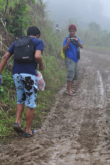
Roman and Gian and their nice cameras!

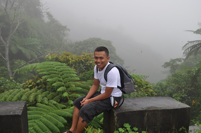
Taking a short rest.
Uhm, are we there yet?
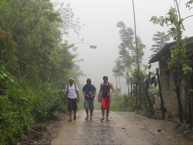
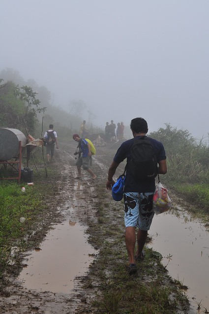
The trek was just so long. That’s us an hour later.
Harry and John walking silently through fog.

All of a sudden, a huge machine rolled past us. The locals said that they were fixing the visitors’ area near the camp site for the upcoming death anniversary.
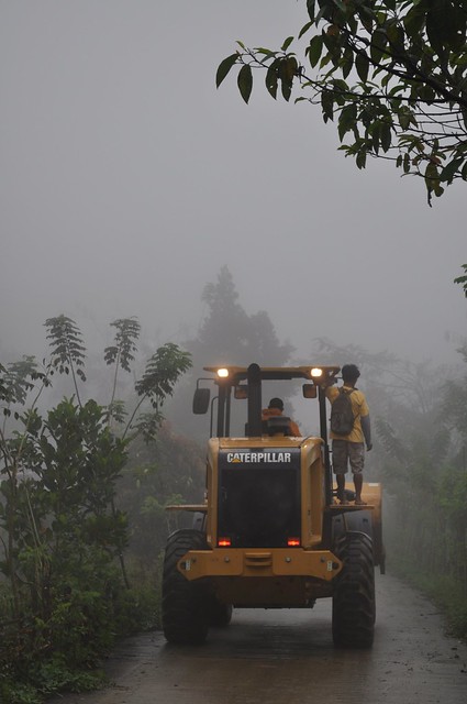
Wow! It was really cold.
Harry and John relaxing under a mango tree.
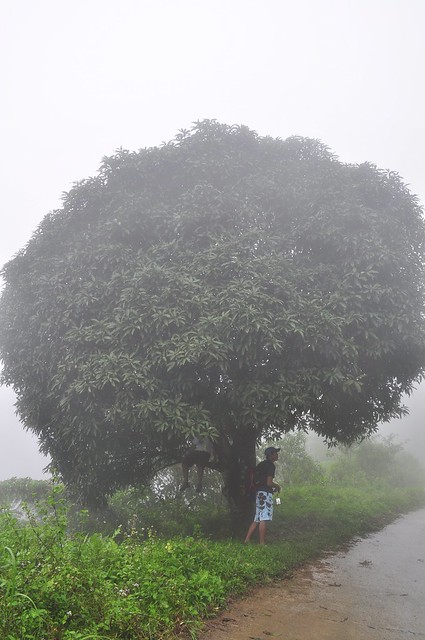
Nice!
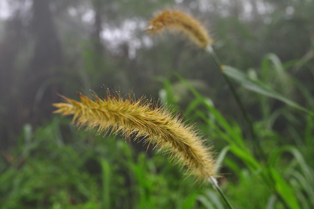
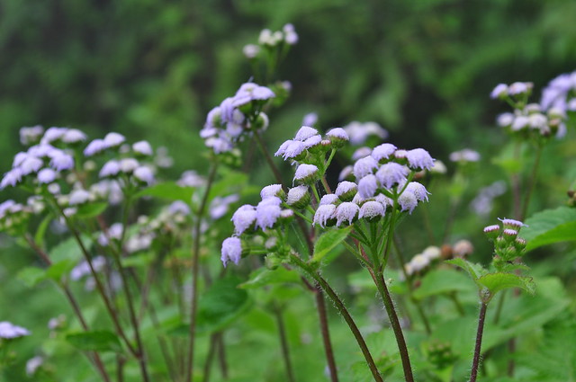
Purple flowers!
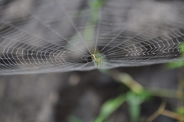
Spider!
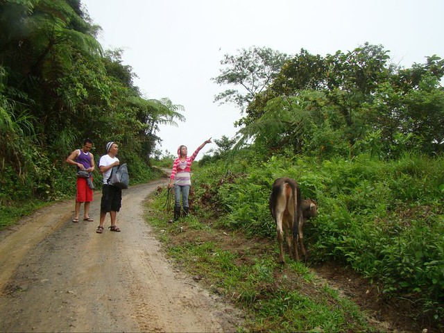
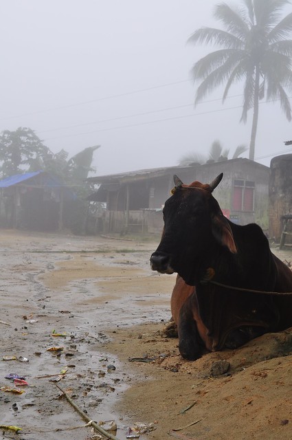
A few minutes later, we saw a young girl with a cow. We asked her if we were near. She said, ‘not even close!’ Oh, come on!
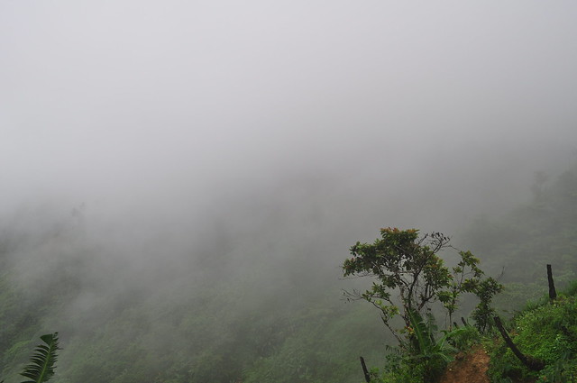
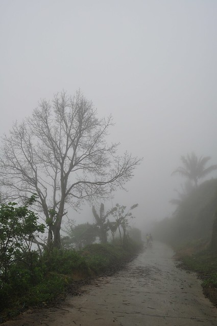
Here comes the fog again.
Then, we started seeing houses. And some cows. Woohoo!
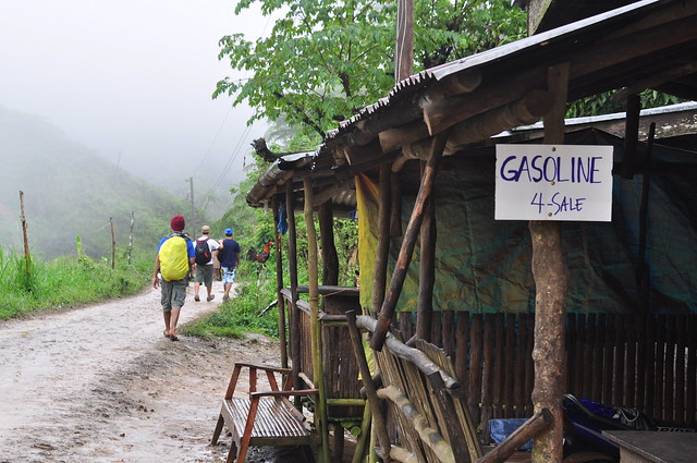
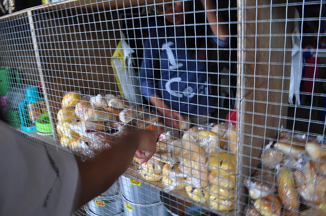
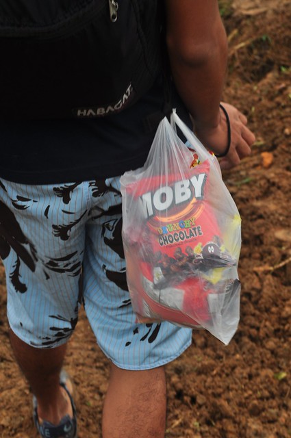
We took a short break and bought some…. chips. Hahaha.

We also bought a few pieces of sopas (bread) for lunch. Yes, you read that right. Hahaha.
And we were walking again in no time.
Then, another machine rolled past us. We had to get off the main road. Hehehe.

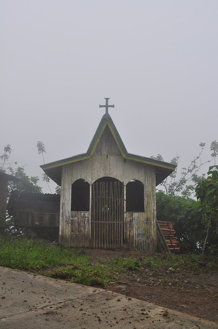
A small chapel.
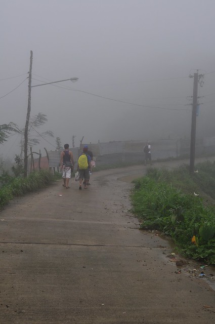
Just keep walking.
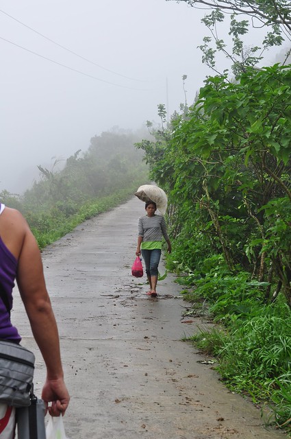
I asked this lady where she was headed. She said she was going to ‘town.’ I hope she was kidding. Hahahaha.
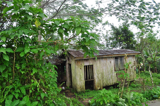
An old abandoned house.
Grrrrr. Too cold!
I’m sorry. I couldn’t wait. I was just so hungry. Hahahaha.
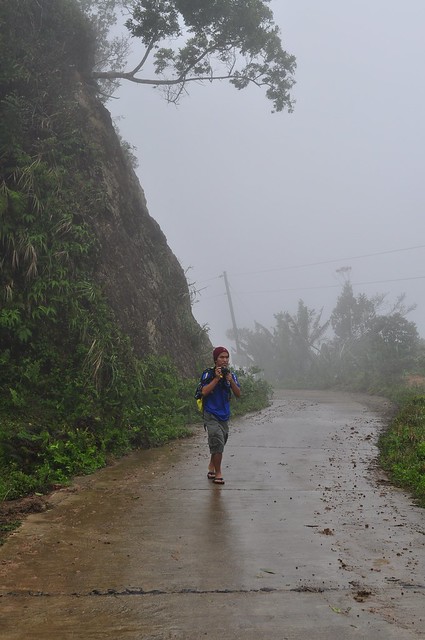
Roman in action.
Harry taking a short break. Hahahaha.
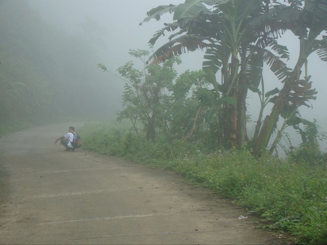
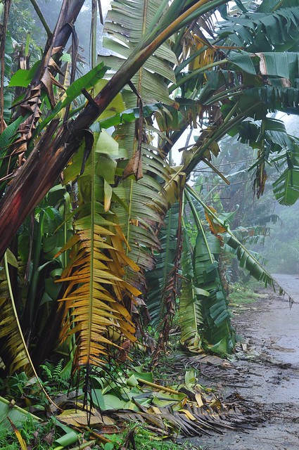
Bananas along the road.
A little insanity to keep us sane. Hahaha.
The locals said we were almost there. Woohoo!
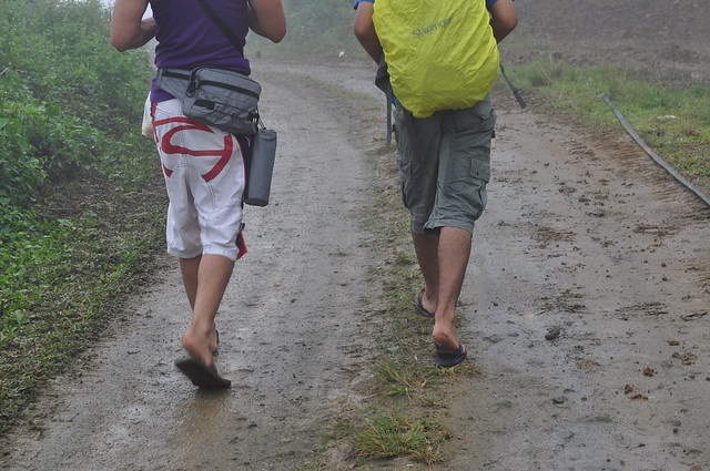
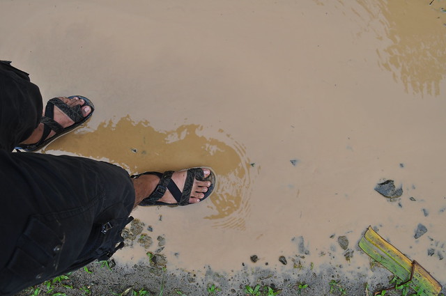
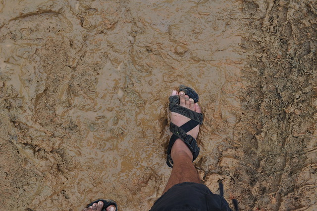
Thank heavens for my trusty sandals.
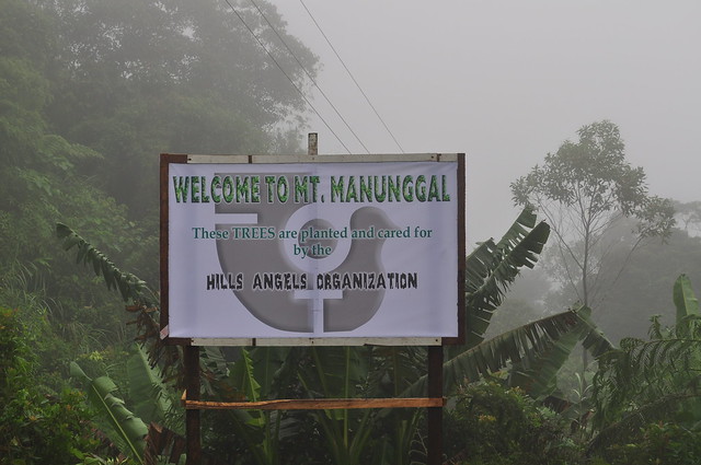
Welcome to Mt. Manunggal! Finally! And I must say, the font they used for ‘Hills Angels Organization’ is scary. Hahahaha.
Wait. I thought we were ‘almost there?’
Nope. We were not ‘almost there.’
Mud men. Hahaha.
Hey, lunch!
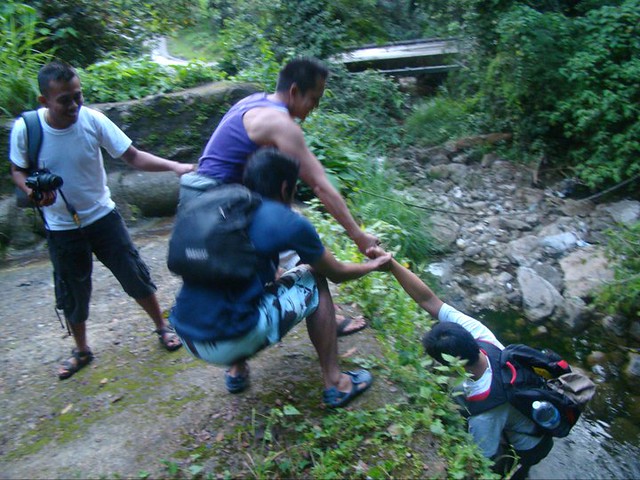
Part of the adventure. Hehe.
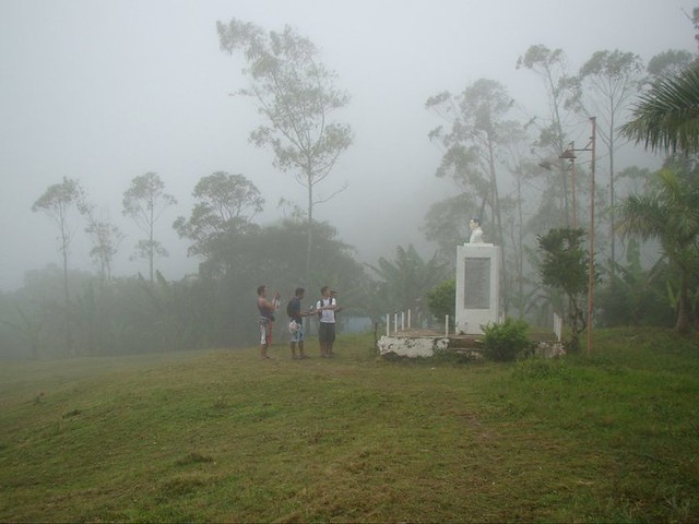
Finally reached the visitor’s area. Now, it’s time to walk down towards the camp site.
But first, a couple of pics.
And a group shot.
And off we go!
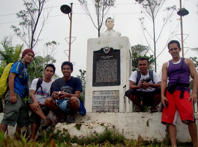
Finally, there’s the monument.
Hello, Mr. President!
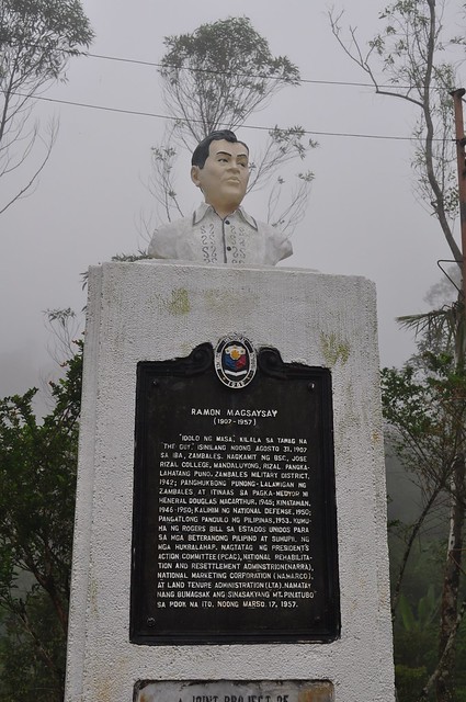
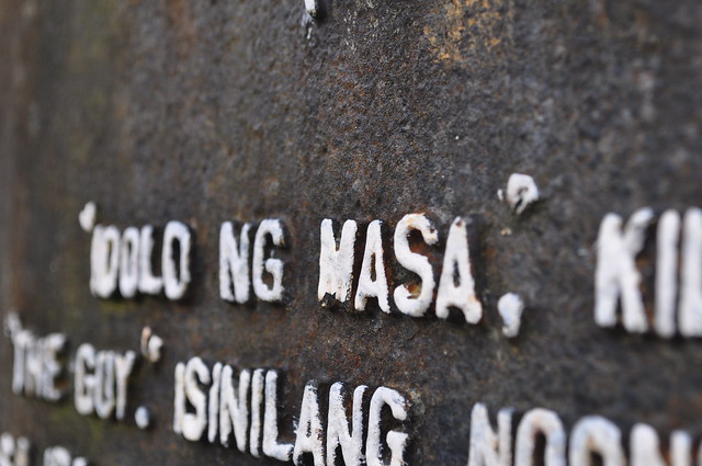
Idolo ng Masa
Group shot!
And then, there’s a short trek to the actual crash site.
We reached the crash site a few minutes later. After taking a few photos and resting for a short while, we were on our feet again. The idea of walking all the way back to the highway was scary. But we had no choice. We already walked around 8 kilometers when a multi-cab stopped in front of us and asked if we needed a ride. Of course, we needed a ride! Hahaha. The multicab dropped us off at the highway. Just as we were crossing the street, a Ford pick up truck stopped and asked if we needed a ride to the city. Wow! Are we lucky or what? Smiling much? Hahahaha.
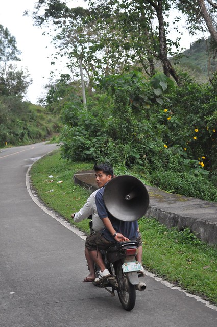
Trompa dude!
The pretty transcentral highway.
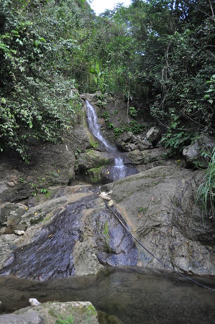
Sadly, when we reached Baranggay Malubog, the kind couple declared that they weren’t going to the city after all. So, we got off and thanked them. Then, we were back to walking when we accidentally discovered this just a few meters off the highway. A waterfalls! Wow!
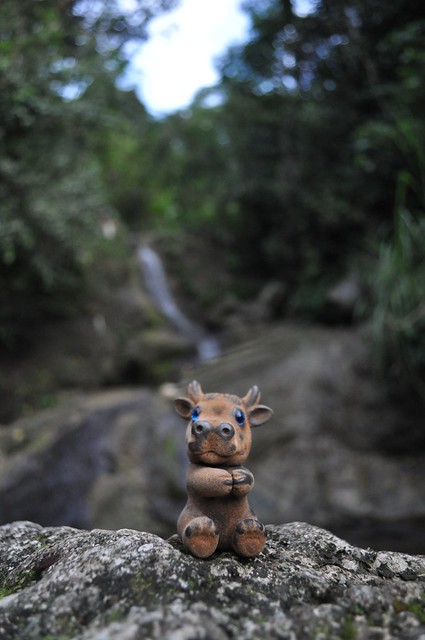
Satchmo had to pose.
We stayed for a couple of minutes to take pictures and just have fun. Afterwards, we saw a vhire headed for Ayala Center Cebu. Less than an hour later, we were eating dinner in Ayala.
It was a short but very memorable experience. We’re definitely doing it again!
Visit Mt. Manunggal now!
Additional photos by Romanslerz!

Hi Ley…. asa man ni nga lugar? just like tagaytay and baguio… foggy pa…
the mountains of balamban… really nice place
How come your alone? Oh then foggy day.
ako nang migo sa pic mam inday. hehe
Nice picture!!!
salamat sir! 🙂
kaluoy tan-awon… nag-inusara hehe
pagka foggy gud anang lugara. 🙂 be careful!
wow, maora naa sa US pagka foggy! hahahaha
asa man ang captions, Ley?
bitaw asa diay ang caption ani.
love everything about this outing of yours. beautiful scenery! handsome guys! 🙂
Nice sceneries and pics bro
That was such a cool (literally) experience, Lander! Definitely, we should do this again.
A couple of mountaineering friends of mine said that there is a shorter albeit more challenging trail in Tabunan. They said we have to cross a river, and the trail is not a paved road. Wohooo! And because it starts near the foot of the mountain, the way to the summit is steeper!
Pamaol ni ug bagtak! Hahaha! But we should should should do this again. Lingaw kaau.
It was my first, and hopefully not my last Manunggal Trek that I attended in the mid 80’s, it was sponsored by the Dept. of Tourism Cebu. We started very early at the Tourism office in Fort San Pedro, then a dump truck drove us via Banilad Rd all the way to the very end “can’t remember the name of the place”. On our way we passed creeks, fields, hills you named it. Iit was an all day walk. Later in the afternoon we reached the foothills of Mt Manunggal, but in order to reach the summit we have to climbed a very step hill that some didn’t make it. Back then it was so laid back that there was no facility, no trail leading to the camp site. We set up our tents then eat dinner and drink Anejo Rum (not sure if they still sell this today). Early in the moring, the view facing the city was owesome you can see the FOG way below our camp site, then as the sun rises the fog slowly goes up. It was a memorable experience, someday in the near future I might do it again in my next vacation to Cebu. I’m now living in the Midwest, USA. I just want to share my Manunggal Trek experience. Looking at those nice pics it brigs back memories. Thanks for your blog.
Hi Quinton,
No, this is not Leylander. This is Gian, his friend. Hahaaha!
Actually, the trail you mentioned about still exists. If we are talking of the same trail, it starts at the foot of the mountain, but you have to traverse a river before getting to the trail head. I hope that we will get to use that trail soon.
And yes, I think Anejo Rum still exists. Hahaa!
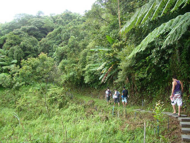
I and 5 of my colleagues took that trail when we went trekking the other week to join Magsaysay’s death anniversary celebration at the peak. This was the trail we took. It’s not really a short one if you start walking from the transcentral highway all the way to the foot of Mt Manunggal (start climbing here http://goo.gl/v4MFi). The path is exhausting as you have to climb all the way, and not being able to see the peak due to the fog makes it frustrating, albeit more exciting. Overall, the path you guys took was a walk in the park compared to the real climb you would have had if you took this way. If you plan to climb again, I would suggest you try the hard way, but be advised: keep close with each other, as the thick fog and the hardly recognizable trails may lead to one being lost!
Yup, that off-road trail you mentioned (steep, rough, etc.) is the one we plan to take when we find a guide.
its a nice trip indeed!
ley, wow, i want to go next time! pila ka oras ang hike dala rest…nice kaayo, thanks
What a great outing! Beautiful pics too 🙂
I get a kick out of Ley complaining it was “cold” then seeing he and his buddies walking in sandals, T shirts and shorts! It’s all relative eh? Keep exploring and bringing us those beautiful pictures. Hoz from the US (where it’s currently 0 degree C).
Ka nindut sa lugar oi. wala lagi kai picture sa crash site Ley? db didto man to na crash c Ramon Magsaysay? I wish I can also climb this mountain when i get to Cebu. Meantime I have to climb MT. Apo first here in Kidapawan. 🙂
that is very nice adventure you have there. 🙂 I hope I can visit the place next time I go home 🙂
Nicely taken shots you got there dude! I wish I could visit the place on my Cebu vacation in the near future.
bwahaha. that was one foggy and mudddy trek. LOL 😀 sama mo naman ako dun dong!
A very nice adventure for you and your friends, with special mention to my batchmate Gian. 🙂 Awesome photos & the fog really conveys COLD but so funny cause you’re all wearing flipflops & short sleeves!:) I hope this place will become more accessible to many people, after all Pres. Magsaysay was hailed as the President of the Masses. Thanks for sharing, another addition to my list of places to visit back home. 🙂
After reading Fr. Miguel Bernad’s essay of their trek to visit the crash site, I have always wanted to go to this place. Father Bernad and company first went in 1957, not long after the tragedy. Back then, it was quite arduous to get there. Relatively speaking, getting there now is a cakewalk : )
Father Bernad’s account of their first visit can be found on the link below. It’s an interesting read indeed.
http://www.webcitation.org/5kg6sik2s
Love the captions and occasional pun. “Mud men.” Lol!
Also love the translations on the road signs. Very practical, especially in case ang nagbasa dili kaayo haniti mo-Iningles. (“Hinay hinay, kimba sa unahan.”)
I thought it was most interesting that the pickup truck stopped and asked if you needed a ride back to town. That hardly happens here!
I miss home.
mao gyud sir. plano gyud namo mang hitch kung walay v-hire. pero hinunong lang gyud ang pick up and asked if musakay ba daw mi. hehehe. i guess we were just lucky. 🙂
Mountaineering is also one of my favorite hobbies… =D
oO nga po..sana makaakyat tayo nang sabay kahit sa Pico de Loro lang..hehe 😀
Another great trip report, Ley! thank you!
Bai, nindot naman lagi imo cam…shooting with nikon nman lagi..d40?
thanks to your ever reliable sandals. is it islander? just joking here. well, ung trek na ginawa ninyo is not a joke. and without enough right gear, like trekking shoes and other stuff. akala ko hindi ka pwedeng mag-trek ng ganung kalayo kung hindi ka naka-merrel,hehehehe…
Actually, it can be done albeit uncomfortably, Ma’am Fatima coz we were just following the road. The body acclimatizes to the cold, which is somewhat bearable.
Lander, ako ning gi-share sa Facebook. 🙂
sure g. way blema. thanks!
Nice photoblog sir, it was helpful in some ways. Where is your jumpoff exactly? I went there yesterday, and got off the habal ride on the “eskina” to Mt. Manunggal. I was told that it was just some 1km trek, but man oh man it’s the longest 1km ever. I inquired with a local and learned that it is somewhere in the area of 7km from eskina to the highest point. A driver said it is between 3-4 km. I wish I have a pedometer with me hehe.
Did you get that eerie feeling too at the engine marker? I had the urge to cry out of loneliness for no reason. Creeped me out a bit.
hahaha. did you go there alone?
Lan, we should do the Gaas or the Tabunan trail. It’s more challenging daw. But we need to find a guide coz I’m not familiar with the trail.
Great adventure! 🙂 Would like to go to Manunggal soon and hopefully hitch a ride back haha :))
ka nindut ani! i wanna try this one too!
gel when ka mubalik dri? kuyog ko!
Interesting ! i ‘ll try this too when i’m back home. i heard a lot about this mt but never tried trekking it
beautiful place..
wa lgi pix sa crash site?then ok rba mag overnight didto?
since you are soo adventurous can you pls.suggest me a place here in cebu na pwd adtoon..hehe suya lang kaau ko sa fog.
try ninyo ang Osmeña Peak sa Mantalongon, Dalaguete, we had fun last July 27 when we went there…
bati-a ninyo’g mga nawong oist… maayo wala nalang mo nanguli sa city ug nag daro nalang mo diha.mangumpay,tanom saging,lubi..
Hi Sir Lander,
Read your blog this morning and still I’m so amazed by the beauty of mountains. Is there any guide I can contact for Manungal climb? Is it safe if I’m just alone? Thanks!
Hello Vinna. Yes the trek is safe. But it would be best if you trek with friends or companions. 🙂